Survey & Subsea
Supporting design, construction, and infrastructure maintenance in the renewables sector.
Survey & Subsea
Interocean carry out onshore and offshore surveys to support the design, construction, and maintenance of infrastructure for the renewables sector.
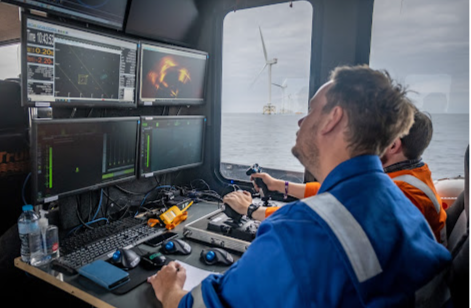
Operating from dedicated survey vessels, seabed surveys utilising multibeam echo sounders, side scan sonar, seabed profilers, and gradiometers are used to map the seabed topography and sub-seabed geology, and to chart boulders, debris, suspected UXO and any other hazards that might hinder construction. Our vessels are equipped with ROVs to carry out target investigation and surveys in deeper water.
Mapping is extended to the landfall and beyond, carried out using UAV*-mounted LiDAR and photogrammetry to survey the cable route to the substation, and the same techniques are used to map locations for onshore wind farms.
Data is collated and presented to assist with planning the layout of the wind farm and acts as the baseline for all future survey work. Interocean offers data management on a Geographic Information System (GIS) platform to support operators throughout the wind farm’s life cycle.
Laser scanning surveys create a 3-D image of a structure or building to provide a basis for modifications and upgrades, while also providing a means of confirming that construction work has been carried out in accordance with design drawings.
*Unmanned Aerial Vehicle, or drone
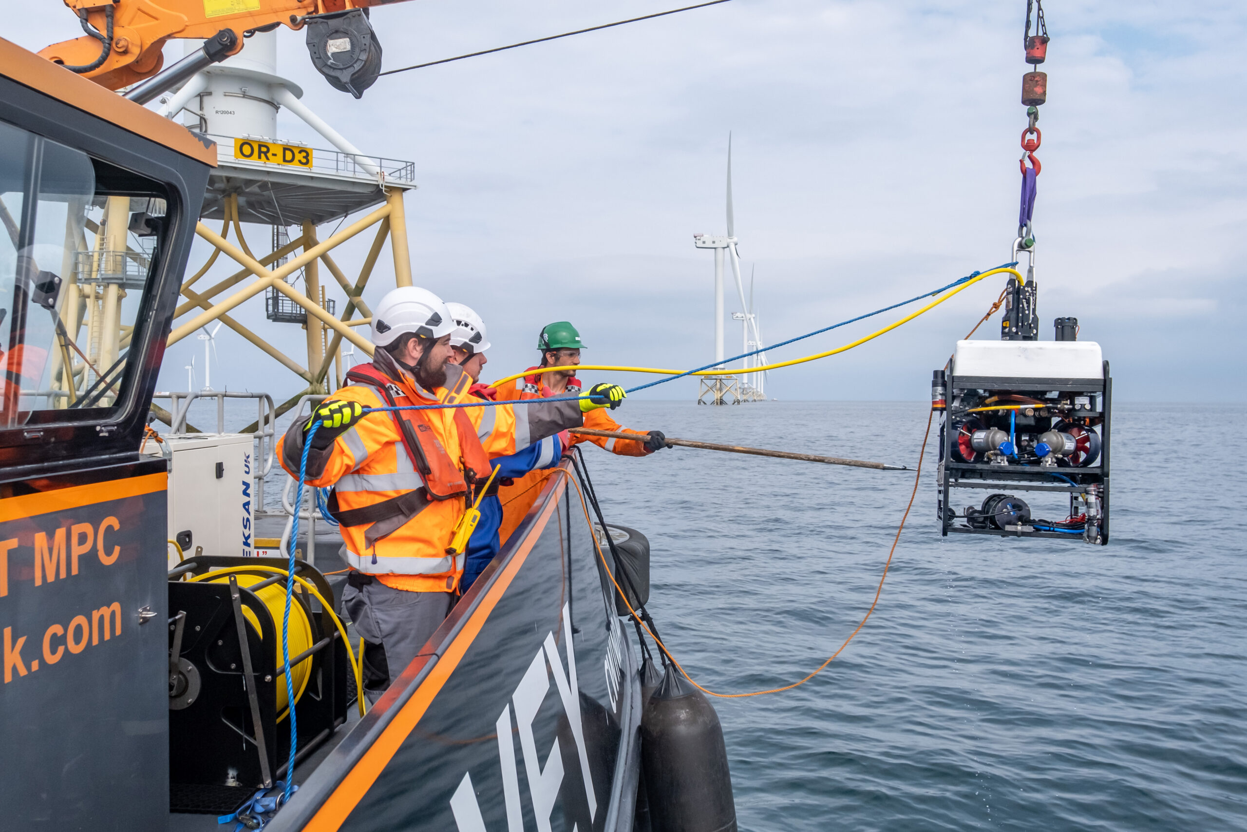
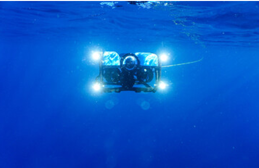
Subsea Inspection
Our ROV capabilities extend to subsea inspections, deployed from Interocean or client vessels, covering structures, pipelines, cables, and hulls. Equipped for diverse tasks, the ROV measures marine growth, evaluates cathodic protection system performance, and can conduct seabed surveys, scour monitoring, marine growth removal, and 3D photogrammetry for precise mooring inspection and cable system imaging.
Ready to hear more?
If you have a question or are looking for additional information, our team is on hand to help.